


Faribault P-5, Rice County, Minnesota
About
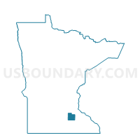
Outline

Summary
| Unique Area Identifier | 604072 |
| Name | Faribault P-5 |
| County | Rice County |
| State | Minnesota |
| Area (square miles) | 0.88 |
| Land Area (square miles) | 0.88 |
| Water Area (square miles) | 0.00 |
| % of Land Area | 100.00 |
| % of Water Area | 0.00 |
| Latitude of the Internal Point | 44.27180800 |
| Longtitude of the Internal Point | -93.28810970 |
Maps


Graphs
Select a template below for downloading or customizing gragh for Faribault P-5, Rice County, Minnesota


Neighbors
Neighoring Voting District (by Name) Neighboring Voting District on the Map
- Faribault P-4, Rice County, MN
- Faribault P-6, Rice County, MN
- Walcott Twp. Voting District, Rice County, MN
- Warsaw Twp. Voting District, Rice County, MN
Top 10 Neighboring County Subdivision (by Population) Neighboring County Subdivision on the Map
- Faribault city, Rice County, MN (23,352)
- Warsaw township, Rice County, MN (1,320)
- Walcott township, Rice County, MN (953)